
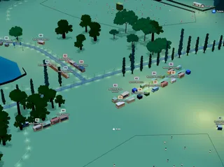
What’s new on the Planning Map
Faster layouts, straighter rows, walkable sites, and smoother maps — what’s new on the Planning Map, and why it matters.

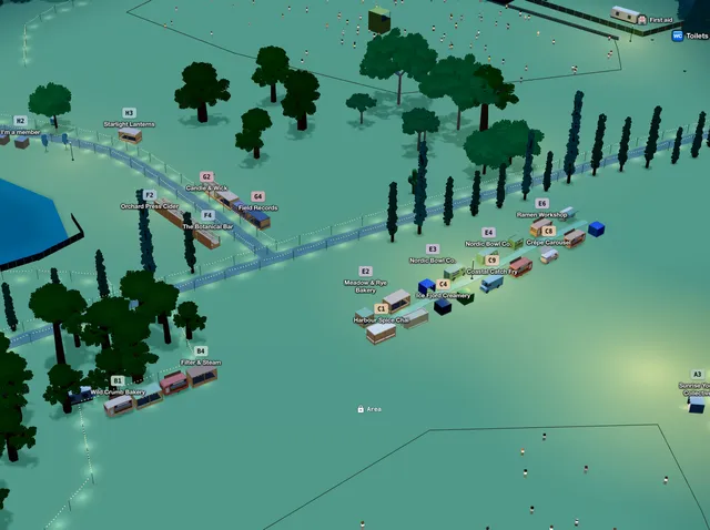
Building a festival layout shouldn’t mean nudging every stall by hand, guessing distances, or waiting for the map to catch up. We’ve been hardening the Planning Map around the jobs organisers actually do — walking the site, lining up rows, copying layouts, and dressing the ground so it looks right.
Here’s what’s ready now on the Planning Map.
Ready now
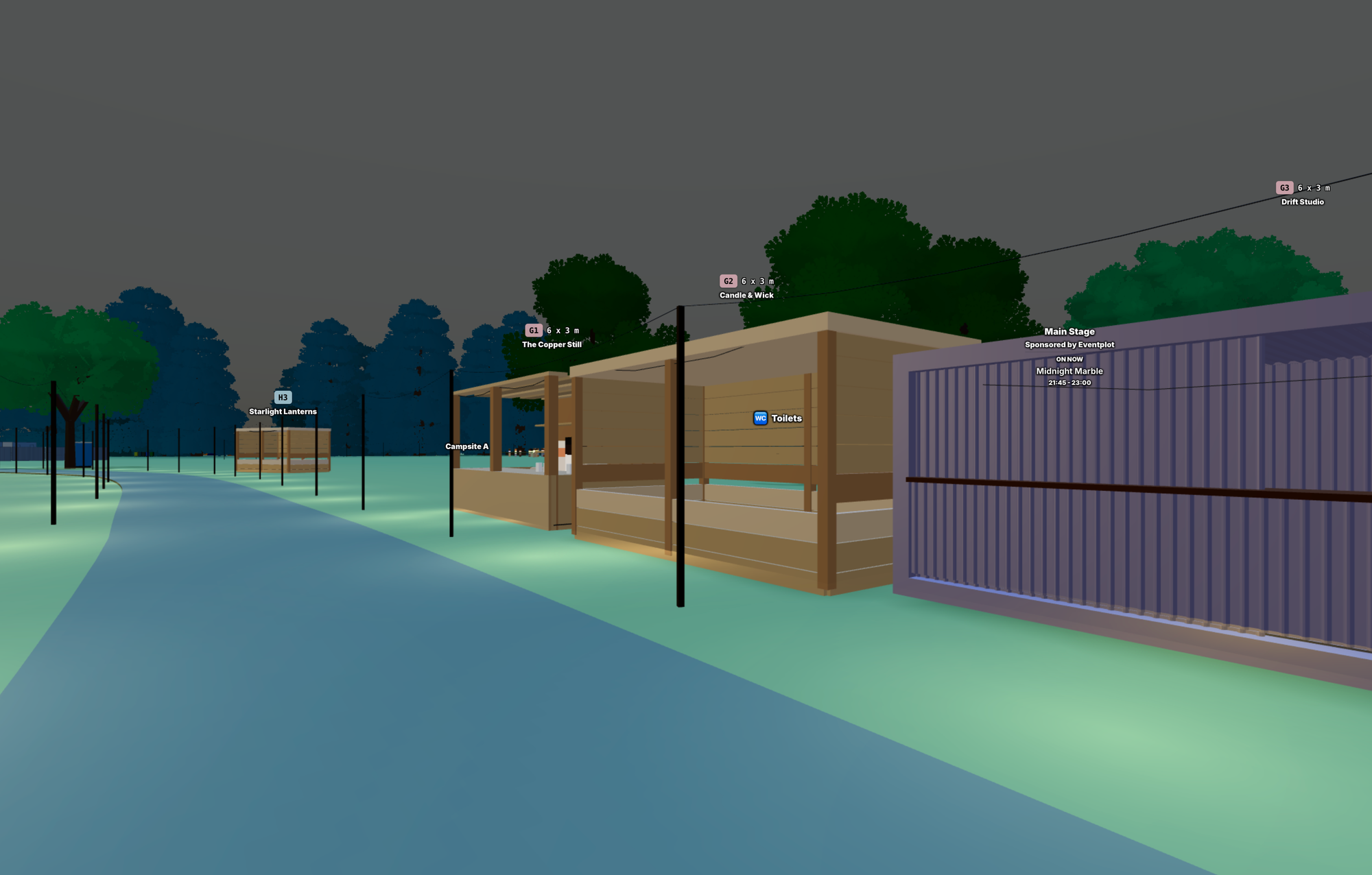
Walk mode
Plans look different from eye height. Walk mode lets you stand on the site and move through it in first person — so you can check sightlines, spacing, and whether a lane feels too tight before anyone gets there with tape.
Alignment paths
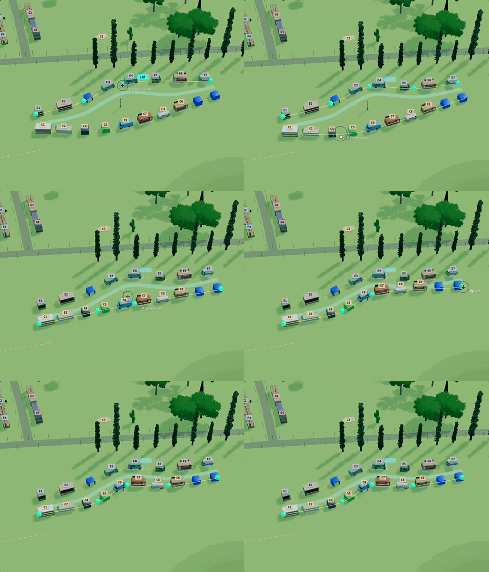
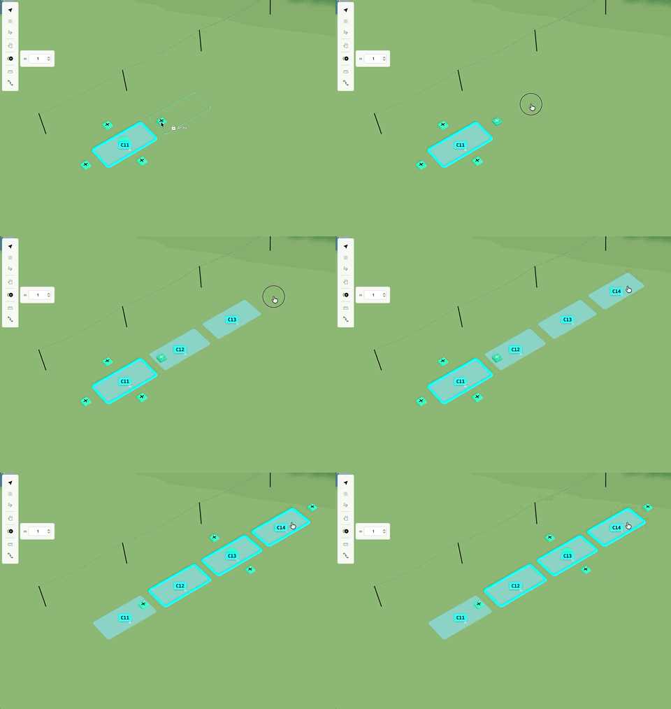
Food streets and stall rows used to mean endless tiny moves to keep things straight and evenly spaced. An alignment path is a planning guide: drop plots onto it, space them evenly (or pack from the start, centre, or end), flip facing, then change the line later and the row reflows with it. Neater layouts, far less fiddling.
Linear duplicate
Repeating the same gap along a run — toilets, stalls, lamps — is where layouts burn time. Linear duplicate builds that run for you: set the spacing once, then lay out a whole line of copies instead of placing each one. Especially useful with alignment paths when you want a long, consistent row.
Selection tools and measure
Big sites need quick multi-select and real distances, not guesswork. Marquee and lasso make bulk edits faster; Measure answers “how far is that really?” in metres while you’re still planning.
Trees
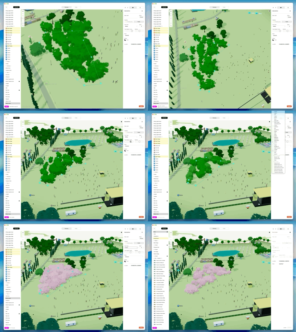
Site dressing should look good without dragging the map. Trees are a new procedural model — textured, quicker to render, and built so we can grow a much richer tree library over time without slowing you down.
Crowds
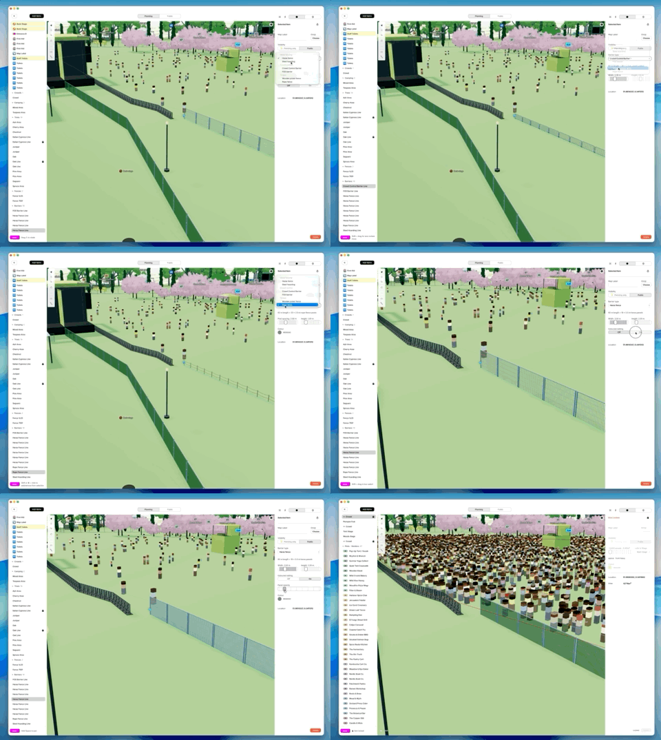
Crowds help you judge capacity and atmosphere, but they used to cost too much performance. They’re simpler now and much faster — denser plans stay smoother when you pan and zoom.
Camping areas
You can now also add large camping areas - regular sized tents and teepees.
Barriers, facilities, lighting
Crowd control, toilets, and lighting are part of the real site picture — not decoration you bolt on later. Barrier and fence lines, toilet/shower blocks and urinals, plus improved lighting (including string lights) make the plan read clearer by day and look better at night.
Planning Map toolbar
When you’re mid-layout, hunting for tools breaks flow. The toolbar has been cleaned up and polished so the right mode is easier to find — and help follows what you’re working on, so you spend less time leaving the map to look things up.
Coming soon
Across the app, the UI keeps getting cleaner, tidier, and more polished — and it just keeps getting better. Detailed list views, improved performance, vehicles. Expect more of that as we go.
Credits and event licences are also on the way — a simpler way to see what your event can hold, and to grow it when you need to. As a thank you to existing users, current events will remain free and will give you some extra credits for free.
Get in touch, provide some feedback and we can give you some additional credits.
Try it on your event
Open an existing event or start a small new one and try lining up a row — or walking it in first person. If something’s still missing for your workflow, tell us. That’s how this list got built.
app.eventplot.com


