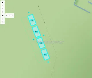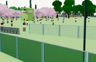
Measure distances on your event map
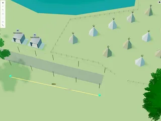
Use the Measure tool on the Planning Map to check distances in metres — segment by segment, with a total length in the sidebar.

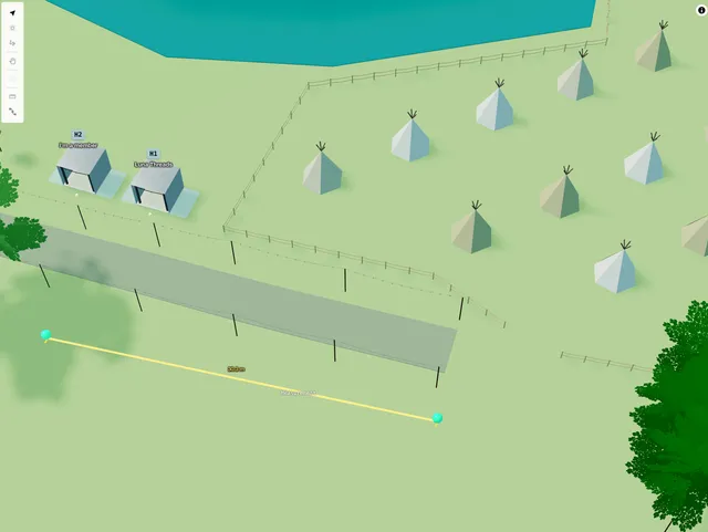
Use Measure on the Planning Map to check distances in metres — stage to fence, plot spacing, path lengths, and so on. Measurements are planning-only guides; they do not appear on the public map.
1. Draw a measurement
On the Planning Map toolbar, choose Measure (next to Alignment path).
Click points along the distance you want to check. Segment lengths show as you draw. When you have at least two points, click near the last point to finish.
While drawing: Space+drag to pan, ⌘/Ctrl+Z to undo, Esc to cancel.
2. Read the length
With the measurement selected, the sidebar shows Total length for the whole run. Segment labels stay visible on the map.
3. Edit later
Double-click to adjust or extend points. Drag to move the whole measurement.
In layers, measurements appear under Measurements (planning only). Delete a measurement when you no longer need it.