
Why PowerPoint and Google Maps fail as festival site plan software
Most outdoor events still start in slides and map pins. Here are the real pain points — clashes, scale lies, version hell — and how Eventplot’s festival site plan software fixes them.


Ask how most people still “find” festival planning tools and the honest answer is: they do not. They open PowerPoint, drop pins in Google Maps, or sketch in Canva — until a council officer, hire company or angry trader exposes the gaps.
That DIY stack is why searches for festival site plan software, outdoor event planning software and event layout software spike every spring. The pain is already there; the category name comes later.
Pain points of slide-and-pin planning
- Scale is theatre. Icons are decorative. A 6 m trailer and a 3 m stall look the same size until they meet on grass.
- Measuring is guesswork. Fire lanes, Heras runs and generator cable lengths need metres — not “about this wide on my laptop.”
- Collaboration is email archaeology. Nobody knows which attachment the safety advisor approved.
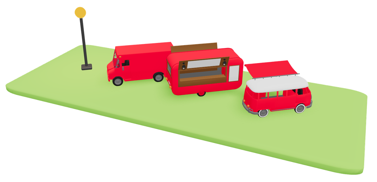
- Traders are not objects. A pin labelled “food” does not carry power needs, vehicle access or public listing copy.
- The public never sees the live plan. Marketing invents a second map; both rot at different speeds.
Competitor content from OnePlan and EventMapStudio hammers the same nail: generic office tools are not event-native. They are right — even if their pricing models differ from Eventplot’s.
What dedicated festival site plan software adds
- Real-world basemap with objects that keep size as you zoom
- Plots and infrastructure meant for outdoor events
- Sharing that is not “resend the PPTX”
- Optionally: public map + website from the same layout
Why Eventplot is built for this pain
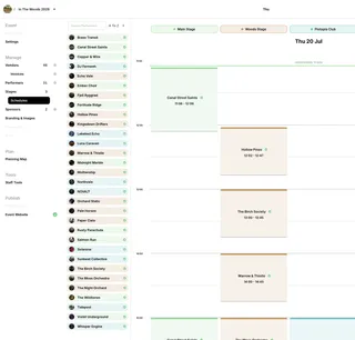
Eventplot is outdoor festival and community-event planning software centred on an interactive 3D planning map. You place plots, paths and facilities for free, line traders up with helpers like alignment paths, then publish to a live site map.
- Kills the scale lie — pitches occupy real metres on a real park or field.
- Kills double maps — planning and visitor views share one event.
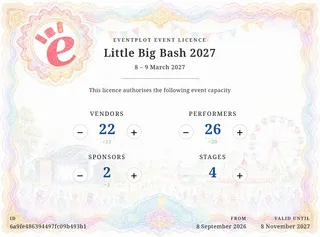
- Fits how festivals are funded — no subscriptions; free to plan; Event Licence when vendors, performers, stages and sponsors are real (year-by-year grants and sponsors hate monthly SaaS).
Arts Council and local funding processes still expect clear project planning and realistic budgets (see Arts Council festivals and carnival Project Grants sheet) — a coherent site plan is part of looking organised even when the grant form itself is about creative activity, not CAD.
Try this instead of another slide deck
- Drop the site outline and first trader row in Eventplot this week — free.
- Share the live plan with one steward instead of a PDF.
- Licence only when the line-up is confirmed.
Start free · Map-first free planning · Why subscriptions don’t fit outdoor festivals