
Event layout software compared: OnePlan, EventMapStudio and Eventplot
Tired of PowerPoint site plans and monthly tools for one festival a year? Compare OnePlan, EventMapStudio and Eventplot — and see which pain each actually fixes.


Event layout software is what you reach for when Google Maps pins, Canva boards and emailed PDFs stop matching the real field.
If you have searched for festival layout software, event site plan software or compared names like OnePlan and EventMapStudio, you already know the pain: the site plan is never just a drawing — it is traders, stages, toilets, fencing and last-minute moves.
The pain points organisers actually feel
- Nothing is to scale. A 3×3 m pitch looks fine on a slide until two food vans clash on site.
- Version chaos. “Final_v7_USE_THIS.pdf” in three WhatsApp groups — crew, council and traders each hold a different truth.
- Double entry. Vendor list in a spreadsheet, map in another tool, public map rebuilt again for the website.
- Paying all year for one weekend. Many GIS / layout platforms lean on seats and monthly plans; most outdoor festivals run once a year on grant or sponsor money.
Industry round-ups (for example OnePlan’s own layout software reviews and Festival Management Guide) keep splitting the market into “site ops maps” vs “festival CRM” — which is exactly where teams get stuck choosing.
How the big names differ (honestly)
- OnePlan — strong on to-scale site ops, collaboration and bills of quantities. Built for physical layout accuracy; less about your public festival website and line-up as one product story. Pricing is commonly framed as free-to-try then monthly seats.
- EventMapStudio — festival map maker on real maps, public attendee maps, reports. Map-centric; you still need somewhere else for vendors, schedules and the marketing site unless you bolt tools together.
- GoodEvent Maps — satellite site planning with drag-and-drop infrastructure; useful for terrain and share links, again primarily a planning-map layer.
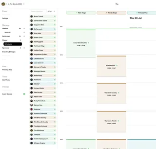
- Eventplot — outdoor / festival planning around an interactive 3D planning map, with vendors, stages and a live public site map and event website fed from the same data. No subscriptions — free map planning, then an Event Licence when the real line-up arrives.
Why Eventplot helps with those pains
- Plan free first. Unlimited plots, paths and facilities while the site is still a sketch — no monthly meter running while you wait on grants.
- One source of truth. Move a trader on the map and the public map / website stay aligned instead of three stale exports.
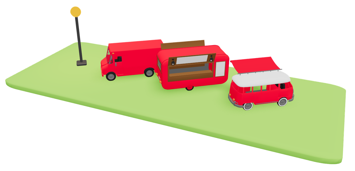
- Built for outdoor festivals, not hotel ballrooms. Rows of pitches, stages and park events — not banquet seating diagrams.
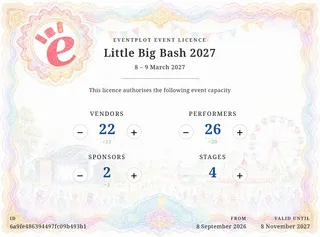
- Pay when the event is real. Licence capacity for vendors, performers, stages and sponsors; see pricing and FAQ.
FAQ
Is Eventplot a OnePlan alternative?
If you need a map-first outdoor festival workspace that also carries vendors and the visitor map, yes — compare workflows, not just object libraries. OnePlan remains a strong pure site-ops GIS option.
Do I still need FestivalPro or SmartGig?
Often for deep applications, ticketing or accreditation. Eventplot is not trying to replace every festival CRM — it stops the site plan and trader pitches living in different universes.
Where do I start?
Open Eventplot free, drop plots on the map, then licence when the line-up is confirmed.
Related: Free outdoor event site map software · Event Licence vs SaaS · Features