
Feature
Line up your site in seconds with Alignment Paths
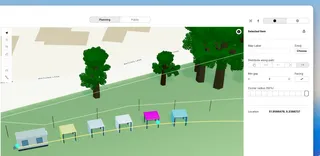
New on the Planning Map: draw an alignment path, then space vendors and plots evenly along it with a minimum gap — ideal for food streets, stall rows, and market lanes.
Feature-rich. Eventplot combines powerful planning tools with precise 3D site mapping and live public publishing — all working as one.
New on the Planning Map: draw an alignment path, then space vendors and plots evenly along it with a minimum gap — ideal for food streets, stall rows, and market lanes.
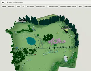
Turn your planning data into a live event website with schedules, vendors, maps and updates — automatically kept in sync as your event evolves.
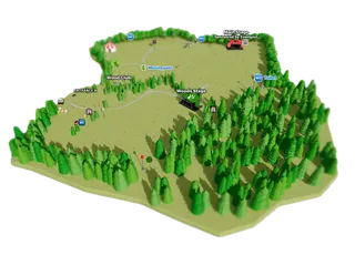
Give attendees a live interactive view of your event. Explore stages, vendors, facilities and schedules in one clear, easy-to-use event map.
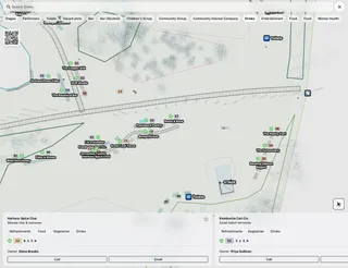
Give organisers and staff a live operational view of the entire event site. Track layouts, infrastructure, facilities and operational planning items from one connected interactive map.
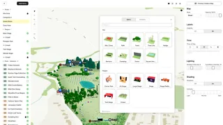
Design your event visually on a real-world interactive 3D map. Position stages, vendors, infrastructure and operational layouts with precision using configurable event assets and live planning tools.
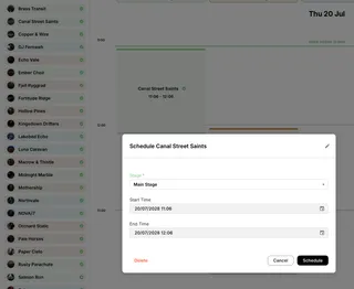
Coordinate performances, rehearsals and stage operations from one live scheduling system — with schedules, maps and attendee experiences always staying in sync. (Stage ops coming soon)
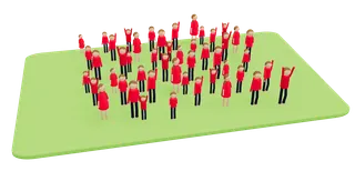
Coordinate organisers, staff and stakeholders from one connected event workspace. Manage permissions, collaborate in real time and keep planning, operations and public experiences fully in sync.
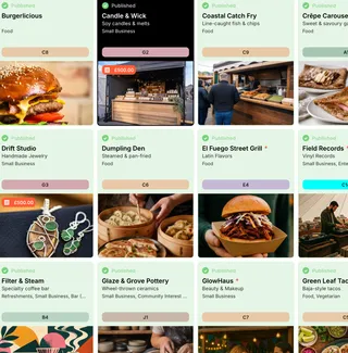
Invite vendors, performers and sponsors into one connected workspace where they can manage their own public information, schedules and event profiles.